UAV2 min read
US Navy Tests Camera Navigation That Kept a ScanEagle on Course Over Open Ocean Without GPS
A ScanEagle drone flew six hours over open ocean off Southern California without GPS, steering by a camera-based navigation system from Rhoman Aerospace. The company reports position drift under 0.5% of distance flown.
Navigating by camera over land is a solved problem. Over open water, where every wave looks like the last, it is not. A US Navy research team says it has made progress anyway. A ScanEagle drone flew for six hours over open ocean off Southern California with GPS and its ground links switched off, and stayed on course using cameras and motion sensors, according to the Naval Postgraduate School (NPS).
The navigation system comes from Rhoman Aerospace, a small California company working with NPS researchers in Monterey. The drone hit waypoints several miles from land near San Clemente Island.
"In the GPS-denied environment, our navigation system allowed the ScanEagle to perform closed-loop flights with under 0.5 percent drift versus distance," said Tom Youmans, Rhoman's chief executive. That works out to less than 500 meters of error per 100 km flown, and closed-loop means the drone actually steered by the system's estimates rather than recording them for later comparison.
Why water is hard
Visual-inertial odometry works by matching what the camera sees to a map, or by tracking how features move from frame to frame, with accelerometers and gyroscopes filling the gaps. AeroVironment has sold such a kit for its Puma drone since 2022. Water breaks the method. "The surface of water has no permanence to map," the school noted. Youmans said Rhoman fuses camera data with sensor data and flight telemetry, uses "a few different methods of sensor fusion" for maritime conditions and can work with or without preloaded maps.
NPS did not say when the flights took place, how far the drone flew in total, or what the sea state and weather were, all of which matter for judging the result.

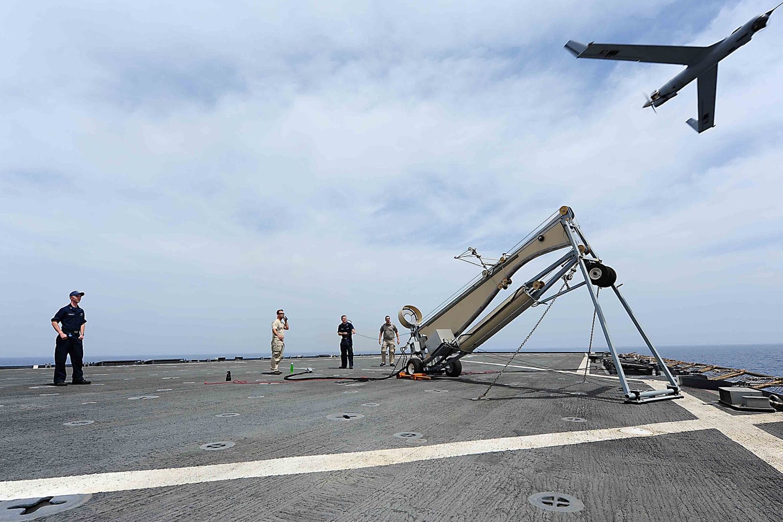
A ScanEagle in flight during launch and recovery exercises aboard USS Comstock in the Pacific, February 2011. File photo.
A ground station on the drone
The second half of the system is NPS autonomy software that takes Rhoman's position estimates and flies the aircraft. Normally a drone reports its position to a ground station, which sends commands back. Lose GPS and a pilot must fly by eye; lose the radio link too and nobody can. "Think of it as another ground station, but on the UAV," said Aurelio Monarrez, the project's principal investigator. "If you give it a mission to fly it to some island, it's going to fly there regardless."
The work was funded through a cooperative agreement, an NPS robotics consortium and the Air Force's AFWERX small-business program. Federal records show Rhoman won an Air Force Research Laboratory award of about $110,000 in December 2023 and a follow-on worth up to $1.8 million in February 2026.
Why it matters
GPS jamming and spoofing are now routine over Ukraine and the Middle East, and any war in the Pacific would involve long flights over water. A drone that can cross a stretch of jammed ocean and arrive close enough for its own sensors to finish the job is far more useful than one that must turn back. The Navy is testing other approaches too: in October, a tactical drone landed on a pitching ship without GPS. Rhoman's next step is the AeroVironment JUMP 20, a vertical takeoff drone with more than 13 hours of endurance that the Army chose to replace its RQ-7B Shadow.